The biodiversity monitoring tool is intended to provide geographical information about different aspects of relevance: for example, the extent of protected areas, the distribution of population, and human activities affecting the preservation of species.
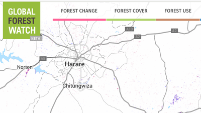
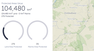
Examples of tools with similar functionality are Global Forest Watch and Protected Planet, both of which provide interative online mapping and analytics for different types of environmental information:
The following examples illustrate some of the sources of data available for the tool. Click on the headings to expand the examples.
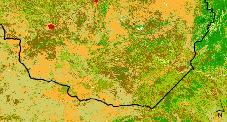
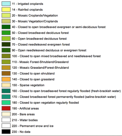
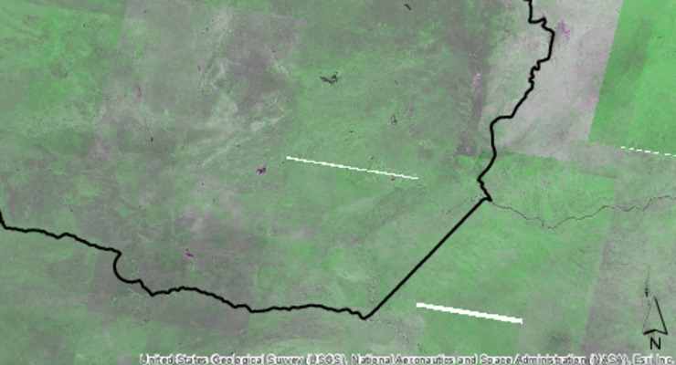
Land cover data can be used to distinguish different habitats and types of inhabitated regions.
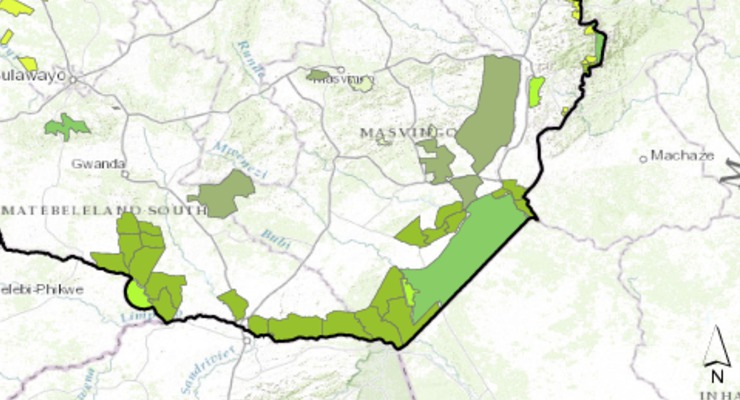
The extent of protected areas can be overlaid on information about land use or biodiversity threats.
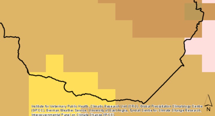
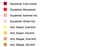
Projections of environmental changes due to climate change can be aligned to biodiversity areas.
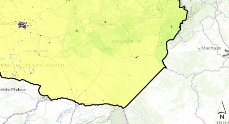
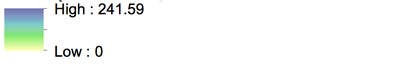
Detailed information about population distribution can be used to highlight biodiversity threats such as encroachment on wildlife buffers and corridors.